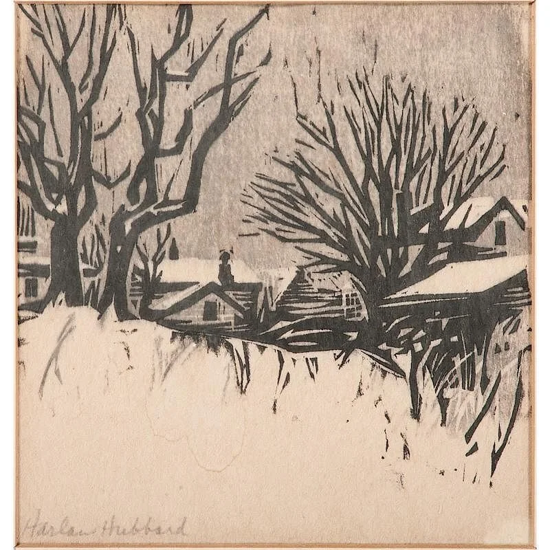
The Fort Thomas Forest Conservancy (“the Conservancy”) recently celebrated eleven years (2009) of active service to the community of Fort Thomas. In this relatively brief period, the Conservancy has chalked up many important successes that benefit the citizens of Fort Thomas and surrounding areas. These include preservation of at least 30 acres of public and private land through gifts and conservation easements, preserving the Harland Hubbard art studio as a historic site, creation and management of a Model Native Garden in Tower Park to educate the public on the importance of planting species native to this portion of northern Kentucky and promoting many events related to its conservation mission including invasive species eradication days, nature and birding hikes, public meetings, picnics, garden tours, and crafts fairs. Remarkably, all of this has been accomplished without a paid staff through the hard work of an active board of directors and scores of volunteers who have pitched in countless hours of inspired work, funding from community grants and member donations and support from the city government.
Fort Thomas with a population of more or less than 16,000 people is a small city to have its own land conservancy. Typically, land conservancies have broad territorial missions focused on protecting specific natural areas, or dedicated to county, state or national jurisdictions. So how did the Conservancy come about? Why Fort Thomas and what spurred its formation at the time? It is an interesting story with an eclectic mix of personalities and skills and background involved from the start. This brief look back at the beginnings and early formation days helps answer those questions.
There was a mostly unspoken sense of unease about development in Fort Thomas in the mid-2000s. This was a time of a major housing boom nationwide, and just before the housing bubble burst in late 2008. There had always been development in the city from the earliest days as it expanded north and south from the center. But for the most part, the pace of home construction was slow and each house was individual with a unique charm and architecture. An example is Barrett Drive. I know about this street, because my grandfather Claude W. Johnson and another local businessman Leslie Gardner -- both lived in the Oak Ridge/Riverside Parkway section – partnered to purchase a 27-acre parcel of land in the northern part of town for residential construction. It was the Oscar Barrett property. They bought the property in 1928 and only five homes had been constructed there by 1950. Johnson and Gardner were not developers or builders; they just sold lots to individuals who found their own architects and builders. This was pretty typical for the city. Townspeople were accustomed to a generally sleepy, slow-paced growth.
That was beginning to change around 2005-2007, as developers acquired land on the fringes of the city and made plans to build relatively high density neighborhoods. There was not much land left in the main parts of the city, but large areas of forested land existed all around the edges. In a matter of just a couple years, construction equipment started transforming wooded hillsides, removing trees and putting in streets.
It was not uncommon in the summer of 2007 to see clouds of dust hovering above the edges of Fort Thomas. Construction started for an apartment complex along Memorial Parkway in plain view of commuters and shoppers heading to Cincinnati. Next to the Highland Country Club hillsides were being stripped of their trees in preparation for roads and houses. An immense swath of dense forested hillside off Chesapeake Avenue on the western fringe of the city was being developed. A chunk of prime land above Covert Run had fallen to development. And most visible to everyone driving along I-471 into Cincinnati, excavators had carved up a hillside of old homes so a new shopping center could be built. Although this was in Newport, it was starkly visible and showed how engineering improvements could transform hillsides previously believed unavailable for development.
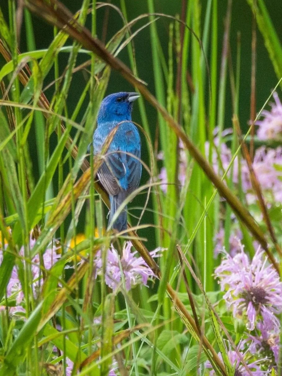
Fort Thomas has always been noted for its wooded hillsides. It has nearly four miles of forested land along the Ohio River and many residential streets are on ridges and behind most houses are woods. The Campbell County Forest Quality Assessment report prepared by NKU's Center for Applied Ecology, published in August 2008, noted that Fort Thomas had more acres of urban forests in Campbell County (1146 acres or 31 percent of the city) and significantly more high quality or Large Crown forests (86 acres) than any of the 13 municipalities in the county. If you grew up in Fort Thomas, you played in the woods, and that experience was etched into your psyche. The woods were part of your identity, if only subconsciously.
More than any other factor, it was the increased pace of development that served as kindling for the formation of a movement to protect Fort Thomas’s dwindling forests. All that was needed was a spark.
Although my first cousin Bill Thomas and I co-founded what is now known as the Fort Thomas Forest Conservancy in late summer 2008, the story is complicated. The inspiration for having a conservancy in the city actually emerged eight months earlier from a well-crafted think piece written by Frank Renfrow titled “The Fort Thomas Conservancy” dated January 25, 2008, proposing the formation of an organization by that name. Frank, a relative newcomer to the city, was a piano tuner, song writer, musician, naturalist and avid birder. The proposal circulated in emails and generated lots of interest. It lamented development in the city, the stripping of trees from the hillsides and proposed the preservation of natural areas and greenspace, sensible wildlife management and development of park amenities.